Working together to accelerate the implementation of renewable energy projects
Prevents energy projects from stalling due to poor communication or opposition by enabling all stakeholders to collaborate in real time based on accurate geographic data.
Implementing an energy project is a complex interplay in which you depend on dozens of parties. In practice, however, the design phase often turns out to be a slow-moving process.
Valuable time is lost to endless email exchanges, fragmented data, and static PDFs that everyone interprets differently. This leads to misunderstandings among experts such as engineers and project developers, leaves stakeholders in the dark, and causes projects to be delayed or even derailed due to growing resistance. The biggest problem? There’s no single central place where everyone can view the same reality at the same time.
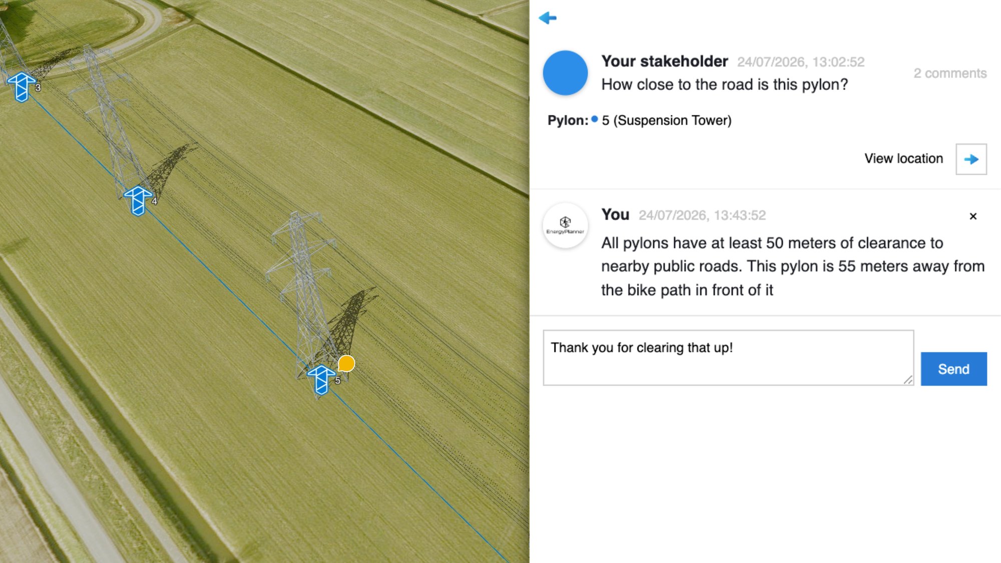
See how the Collaborate Stakeholder Engagement module brings all stakeholders together in a dynamic digital twin for sustainable energy, where you can collaborate in real time—based on precise geodata—to build energy projects with broad support.
.png?width=1466&height=824&name=image%20(1).png)
.png?width=2000&height=944&name=image%20(14).png "image (14)")
In addition to the Collaborate and Present Stakeholder Engagement modules, we are working hard on rolling out the Interact module, which includes map- and image-based surveys. We are looking for pilot users for this.
Take advantage of and become a pilot user
Would you like to get early access to this new feature and have the opportunity to help develop it? Sign up as a pilot customer and enjoy exclusive pilot benefits.
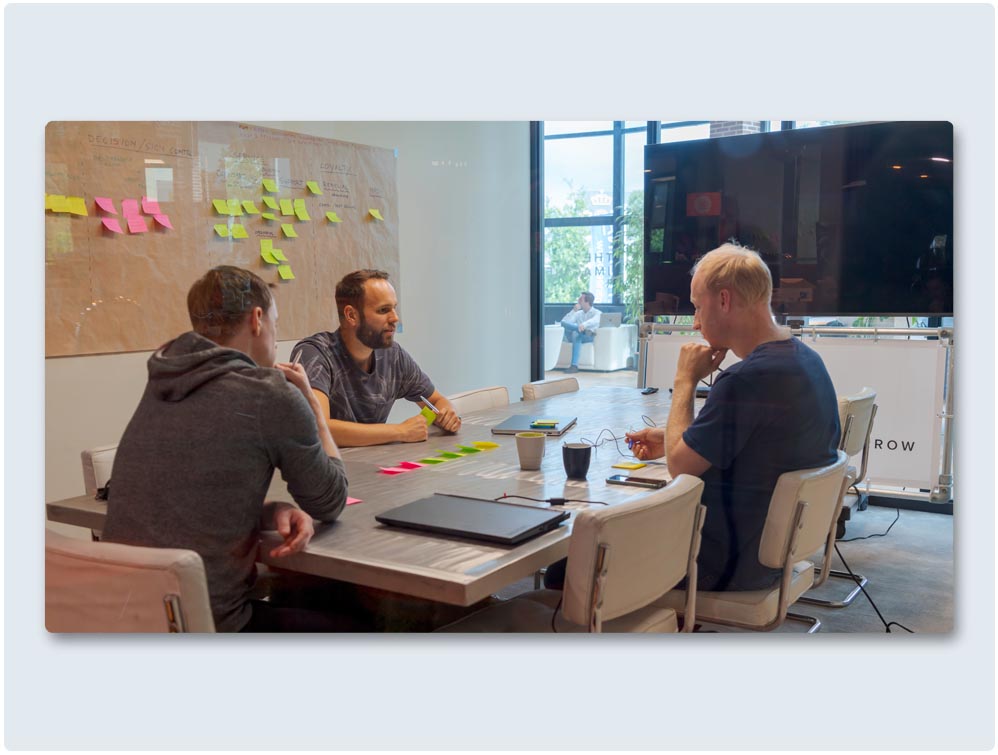
Our software is used by a wide range of organizations, including project developers, landscape architects, environmental assessment agencies, local and national governments, and engineering firms.








Request a demo and find out why more than 400 organizations have chosen The Imagineers.
Personal Demo
60 minutes
Online or in person
Would you prefer to speak with us directly? Feel free to contact one of our specialists!


