Direct contact
Prefer to speak to someone in person? Feel free to contact our specialists!


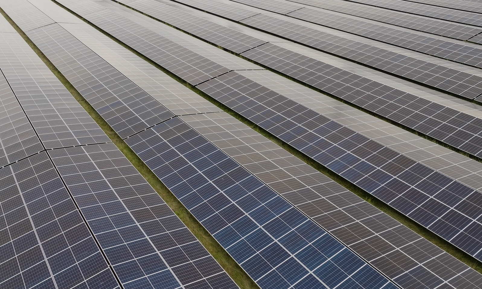
In addition to wind, line and object, we also offer the possibility to visualize solar parks with EnergyPlanner. The software operates largely the same as the others, but is specialized in a number of areas. Some key features are:
Place solar parks using a variety of methods, including shapefiles, coordinates, or manual placement.
Frames, panels and arrays are highly customizable, making them suitable for applications such as agri-PV.
Supports sun tracking functionality.
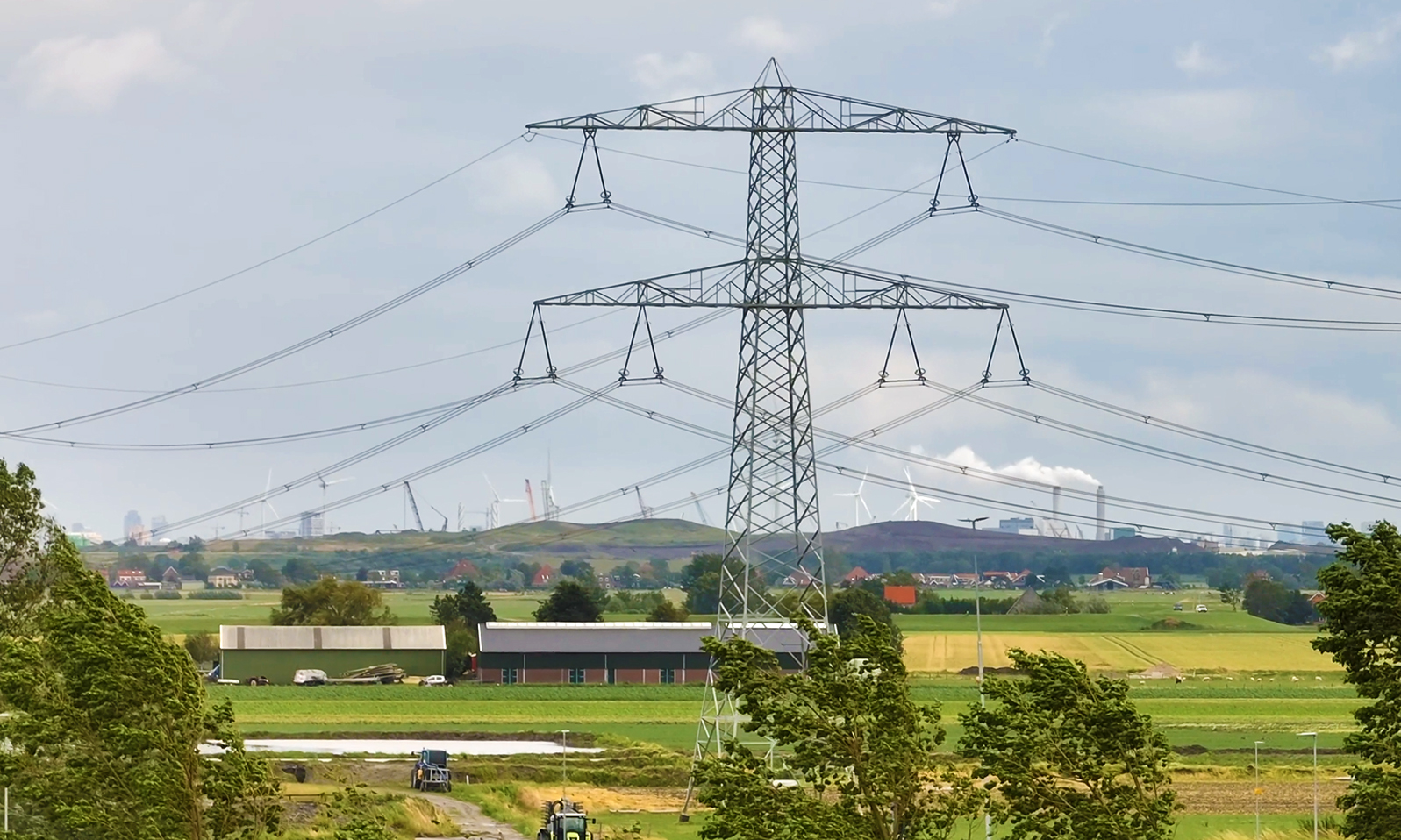
In addition to wind, solar and object, we also offer the possibility to visualize substations and transmission lines with EnergyPlanner. The software operates largely the same as the others, but is specialized in a number of areas. Some key features are:
Towers auto-rotate and get insulators and conductors placed automatically based on position and angle.
Smart placement aids like visual indicators help position towers accurately.
Supports multiple tower types and ground stations for flexible line design.
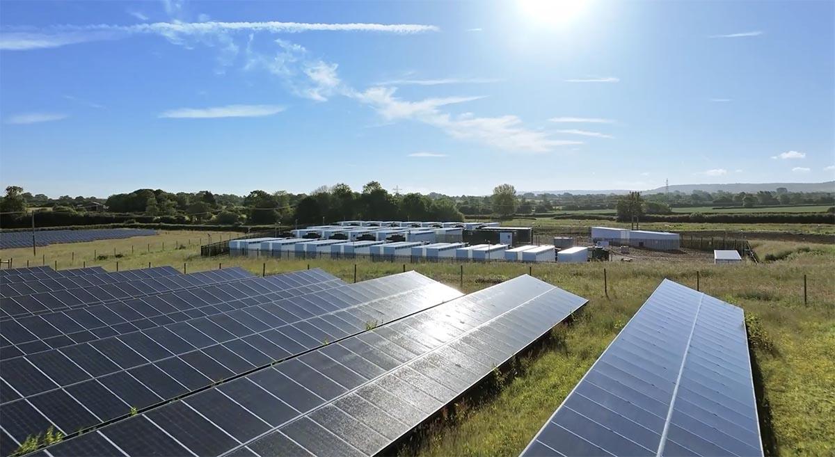
In addition to wind, solar and line & grid, we also offer the possibility to visualize various other objects with EnergyPlanner. The software operates largely the same as the others, but is specialized in a number of areas. Some key features are:
Place BESS units to enhance an energy park.
Mitigate visual impact by placing trees, bushes, and other objects.
Place fences, transformers, pacto's and many more.
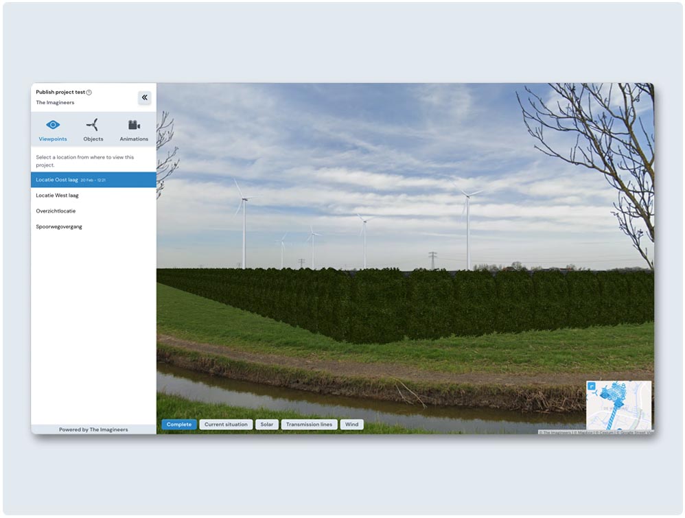
EnergyPlanner Present makes it easy to publish realistic project visualizations online, directly from EnergyPlanner, no extra software or technical skills required. Integrate seamlessly into your website, third-party platforms, or our Virtual Consultation Room. Configure viewpoints, scenarios, and project versions via a simple dashboard.
Stakeholders can explore lifelike 3D visuals, moving wind turbines, shadows, and more. Each presentation includes project details, is fully web-based, and preserves project history.
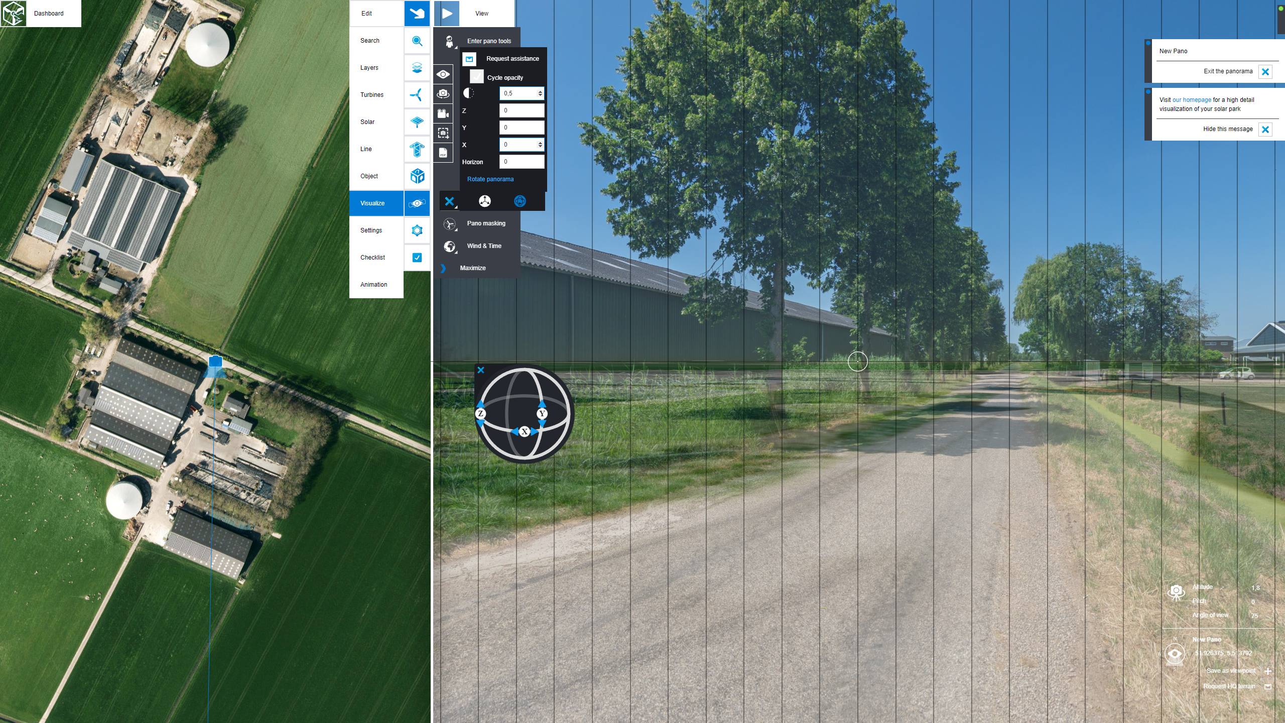
If you would like to use photos other than the standard Street View images, this module is required. It allows you to upload your own photos or custom-made visuals, such as drone images, rendered environments, or photographs taken from specific locations. This is especially useful when Street View coverage is outdated, unavailable, or does not reflect the current situation.
By using your own imagery, you ensure accurate and high-quality visualizations that match the real environment or desired future conditions.
Assess the impact of wind turbine shadow flicker by analyzing sun position, sunshine probability, and effects on nearby receptors. Ensure regulatory compliance and evaluate mitigation measures like controlled shutdowns.
Evaluate sound emissions from wind turbines, BESS or other sources using ISO 9613-2. Confirm legal compliance, support EIAs, and facilitate public communication with clear visual and numerical data.
.jpg)
The basic training takes about 4 hours and we will show you how to set up your project. You will quickly come to grips with the ins and outs of EnergyPlanner. After the training you can easily find your way in EnergyPlanner and all its features.
We can train you via an online meeting or we can visit you at your office. And you are also more than welcome to come to our inspiring workplace.
Create a new project and invite members/collaborators/observers
Use map layers
Use turbine 3D-models
Place turbines/solar panels
Enter Street View mode and create viewpoints
Calibrate (Street View) photos
Get the max out of your subscription with an online training. A two-hour course of explaining the EnergyPlanner basics and two-hour refresher after 30 days.
Request more information and discover why more than 400 organizations have chosen The Imagineers.
Software as a Service
Professional 3D artists
25 years experience

Prefer to speak to someone in person? Feel free to contact our specialists!