
17 July 2026
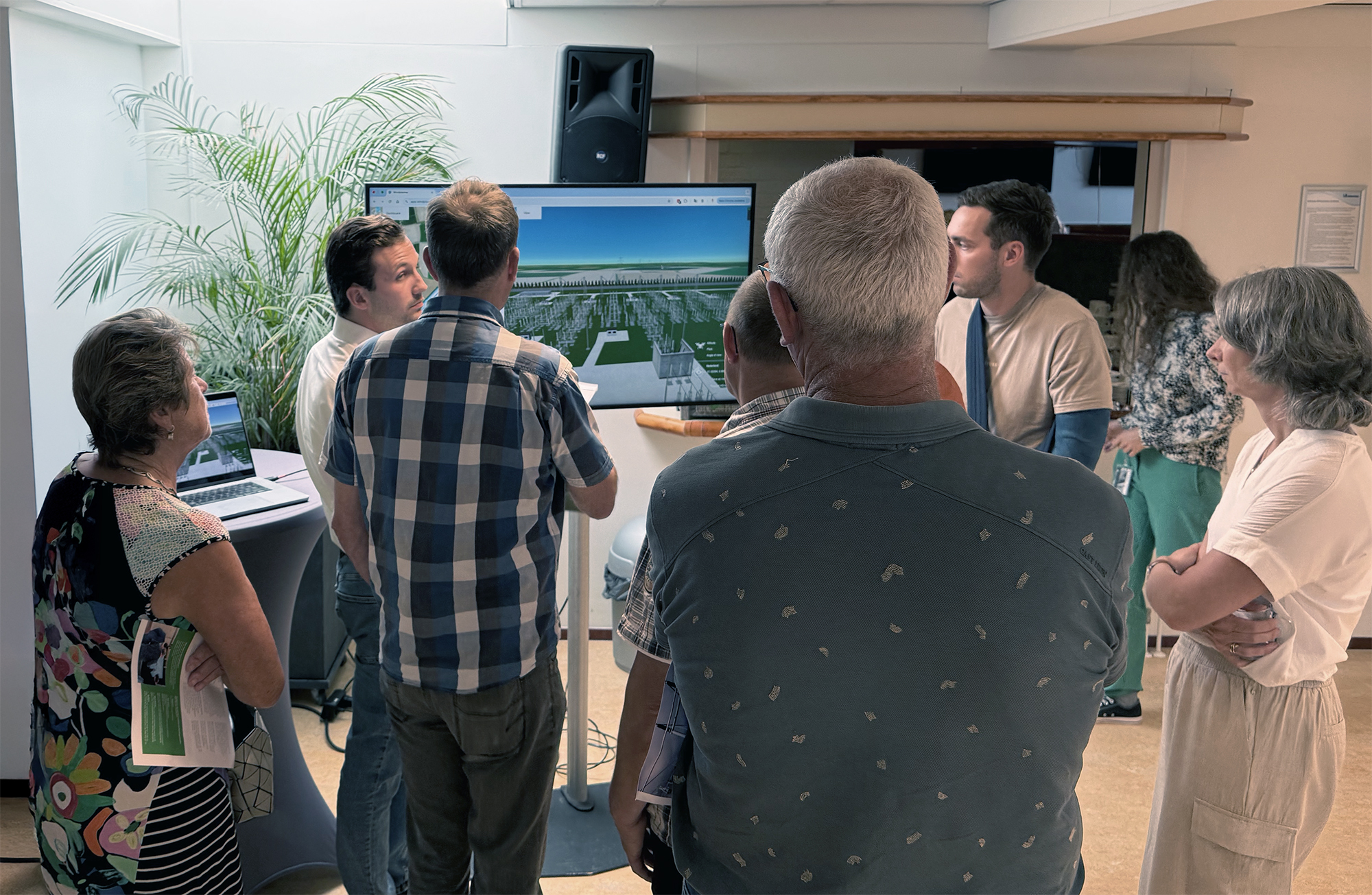
Solar park Geerkade, Bringing the Future into View
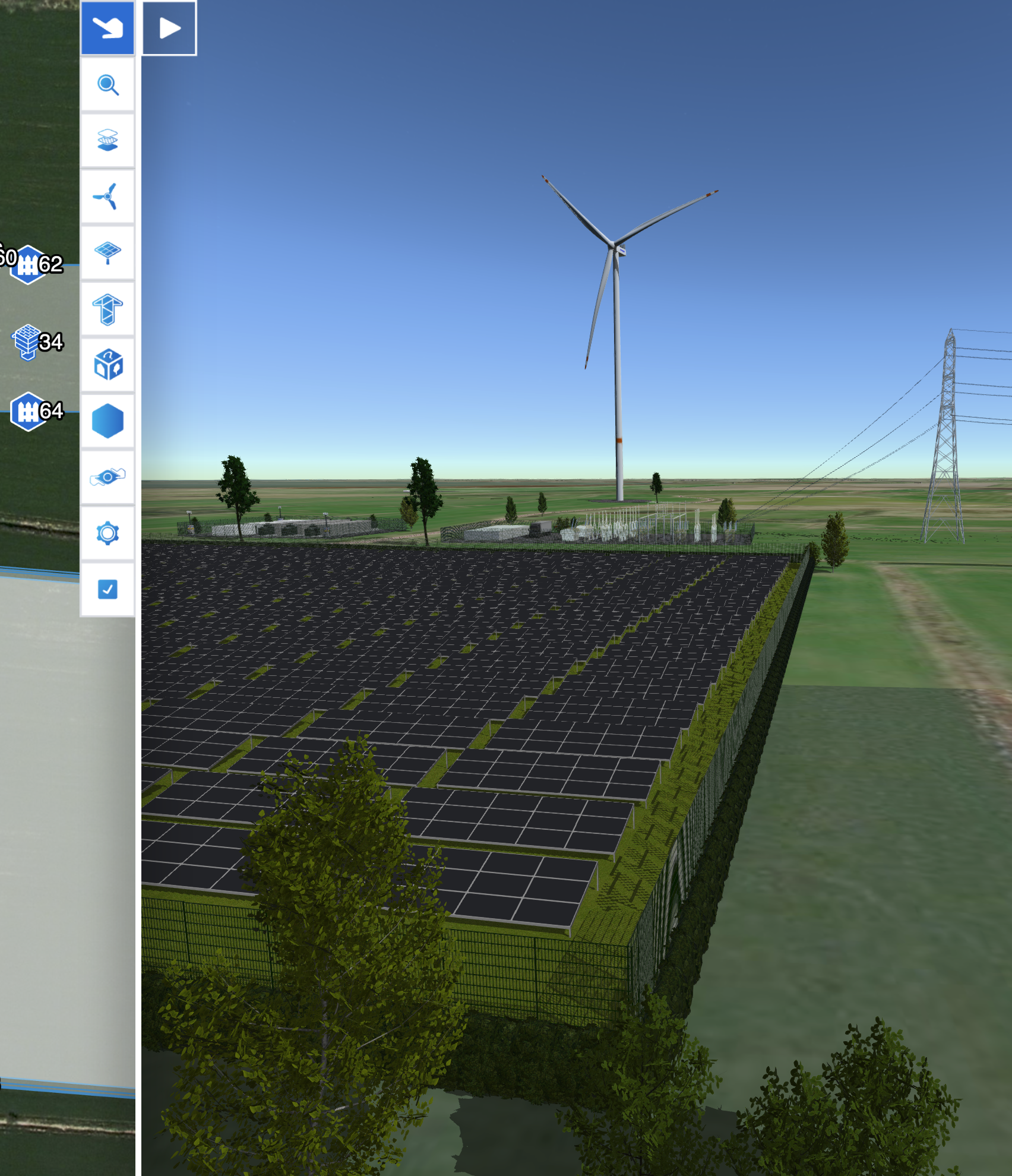
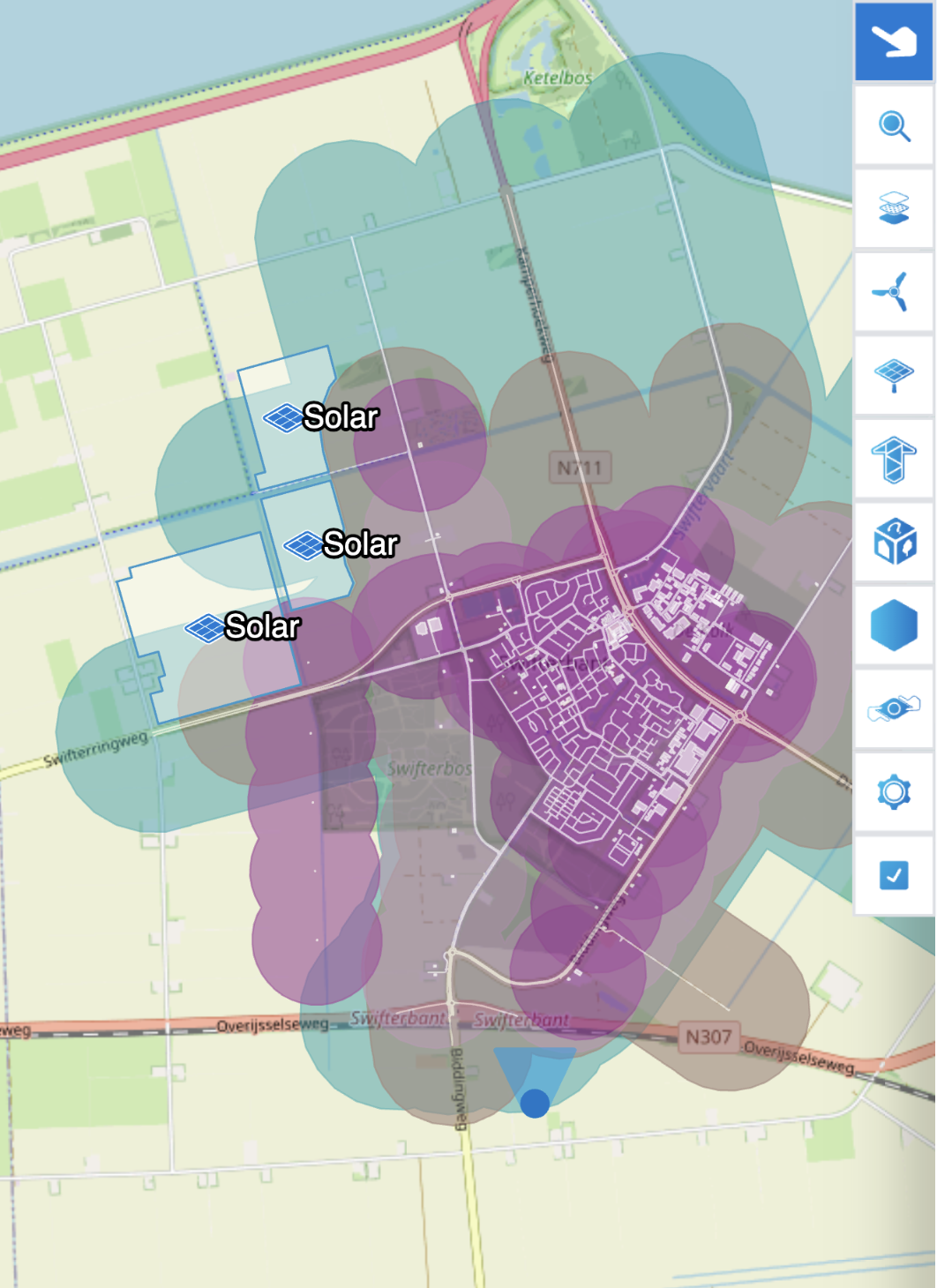
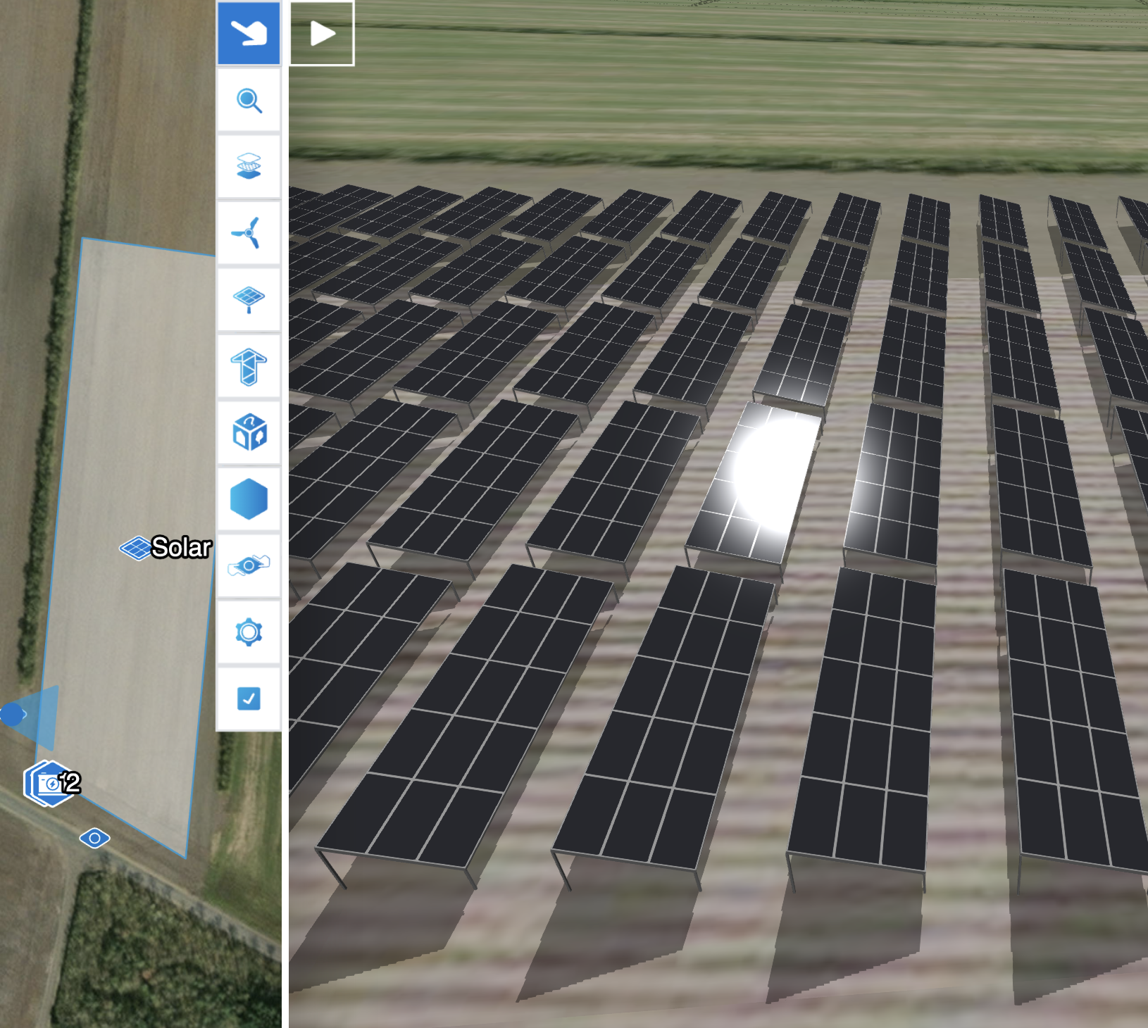
Using our Stakeholder Engagement Platform (SEP), visitors can seamlessly switch between the current and future situation from several 360° viewpoints. This side-by-side comparison