17 July 2026
Seasonal shadow casting animations
The Sun, the Seasons, and the Shadows: Bringing Wind Farm Impacts to Life When developing a wind energy project, transparency with local communities and stakeholders is key to
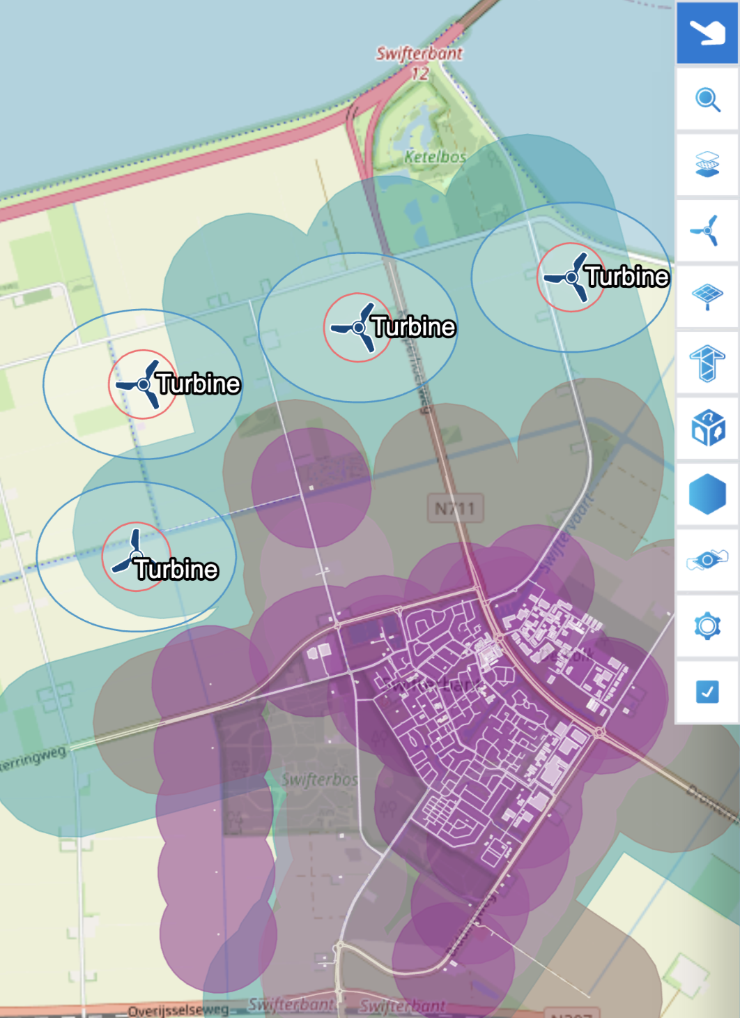
Gain complete spatial insight into your wind farm’s surroundings with accurate maps, elevation data, and terrain layers. EnergyPlanner offers powerful geospatial tools that make site selection, design and stakeholder engagement faster, easier and more compelling — all without requiring GIS expertise.
Instant access to global map layers and your own GIS data
Use topographic maps, live satellite imagery and easily import public or custom GIS files. Design and analyze without needing advanced GIS skills.
Clarity from every angle, at any location
Combine elevation data accurate to <1 meter with realistic 3D visualizations of buildings, trees, infrastructure and wind turbines. Whether your wind farm is located on an open plain, a mountain ridge, or in rolling terrain, the landscape integration remains true to reality.
Design faster and smarter with intuitive tools
Design wind farms that are visually convincing, technically complete, and publicly supported, with realistic visualizations, mitigation measures and a well-considered functional layout.
Integrate turbines, landscape, and grid infrastructure in one design
Choose from an extensive library of configurable wind turbines and design a visually and technically complete layout, including access roads, substations, and transmission lines, all directly visible in 2D, 3D, and 360° photos.
Optimize your design for regulation, perception and impact
Simulate social and spatial effects and tailor your design to local regulations and community needs. EnergyPlanner enables realistic noise and shadow flicker simulations, allows you to visually compare alternative scenarios, and apply tailored mitigation measures for each case improving liveability and streamlining the permitting process.
Strengthen biodiversity and support with nature-inclusive design
Create nature zones such as forest edges or ecological buffers directly on the map and gain insight into margins and distances to protected areas. Boost both biodiversity and stakeholder acceptance.
Simulations
Use simulations to analyze and optimize every aspect of a wind farm, from shadow flicker and noise to ZVI and safety
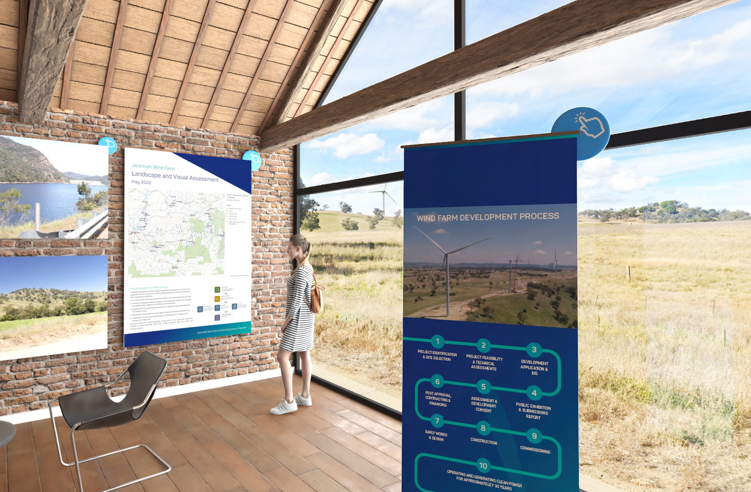
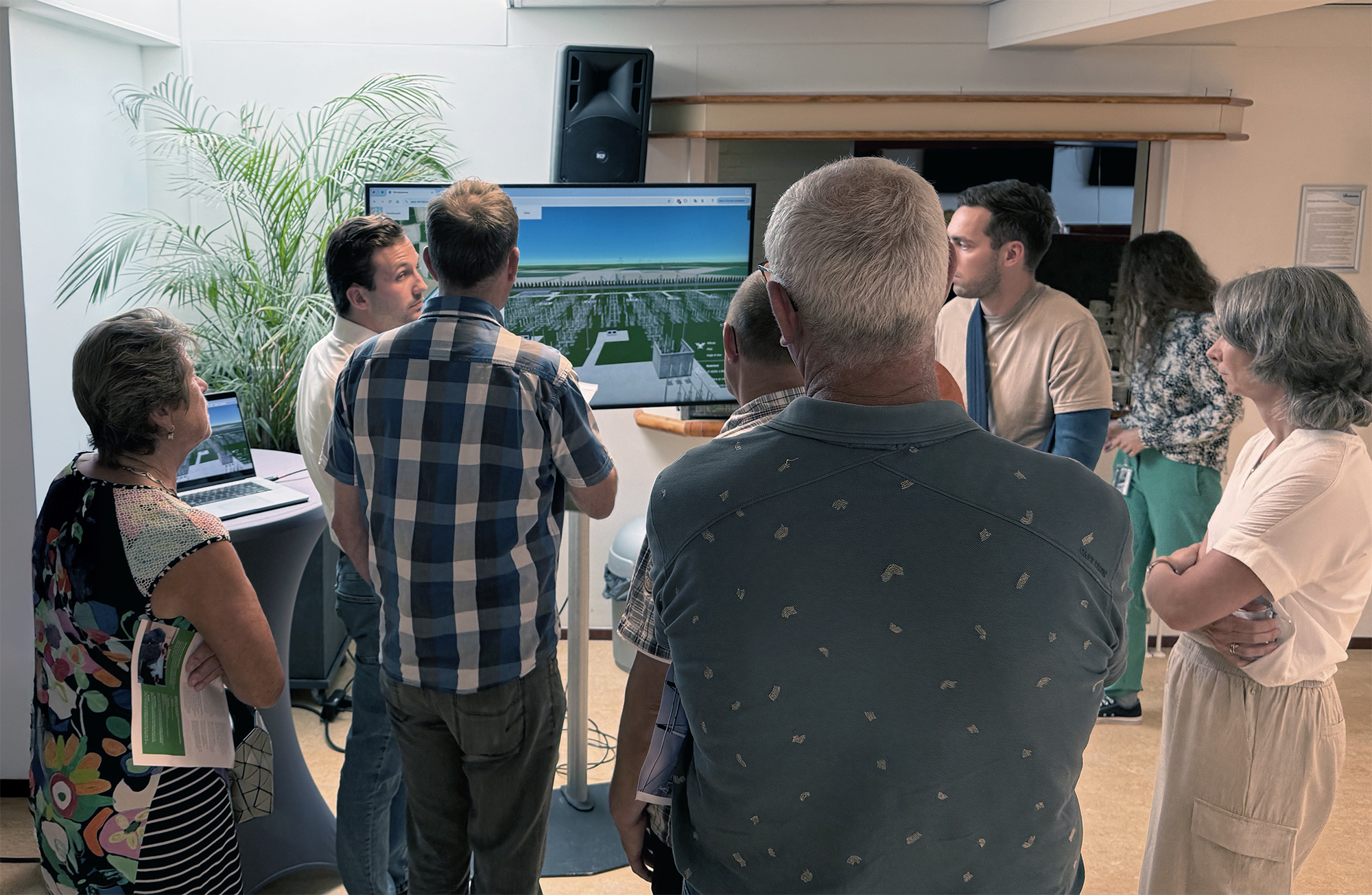
Stakeholder Engagement
Publish your wind farm project and start the conversation
Public Consultation
The power of immersion, context and dialogue in public engagement
.jpg)

The consultants and support staff at The Imagineers are here to help — quickly and personally.
Personal guidance to get the max from the Wind module
Get the max out of the Wind module with the support of our experienced team. Whether it’s co-creating your first project, turnkey delivery to bridge capacity challenges, or hands-on help with support questions.
Enhance your Wind project with tailored content
We provide additional tailored content such as high-detail 3D terrain data, specific map layers, custom 3D objects, animations, or 360° photos taken on-site where Street View is not available.
Expert support for public consultations and open houses
Need support during stakeholder meetings? We’re here to help you make a professional and independent impression every time. All to accelerate your project and achieve better results.
We have had the privilege of collaborating on multiple projects with the following organizations.

Request a demo and discover why over 400 organizations have chosen The Imagineers.
Personal tour
60 minutes
Online or in-person

Prefer to speak with us directly? Feel free to get in touch with one of our specialists!