From a technical drawing to a real conversation with the community

TenneT

TenneT is the national high-voltage grid operator in the Netherlands and parts of Germany, responsible for electricity transmission and grid connections for large-scale renewable energy projects.

www.tennet.eu

tennet-logo-transparent

From Complex Data to a Clear Picture

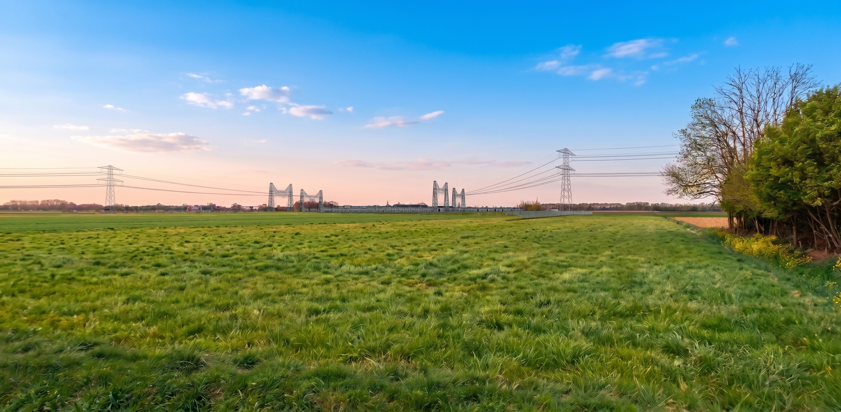
Using the Line & Grid module in EnergyPlanner, TenneT converts complex technical drawings into photorealistic visualizations, giving local residents and policymakers immediate insight into the actual impact on their living environment and fostering more meaningful public engagement.

Visual Clarification for Greater Participation

TenneT uses the Line & Grid module within EnergyPlanner to convert floor plans and architectural drawings into clear, photorealistic images. With accurate simulations of light patterns, sun position, and integration into the landscape, the actual impact on the view becomes immediately clear to everyone. This turns the public participation phase into a fair, dialogue-oriented experience in which concerns can be discussed and choices are better understood.

Edited_V2
Hans Duivenvoorden

"There is no such thing as widespread support, but there is less resistance."

"The goal of visualization isn’t to make a situation look better, but to have a more honest conversation. When people understand why a project is necessary, what alternatives exist, and what the real impact on their community is, understanding develops—and that is the key to acceptance."

The Challenge


The construction or expansion of high-voltage substations and transmission lines has a visible and significant impact on the local environment. Before actual construction begins, TenneT undergoes a lengthy preparatory process lasting approximately three to four years. This phase focuses on site surveys, permitting, and extensive community engagement.


The biggest challenge during this engagement process is communicating the plans. In the past, people relied primarily on maps and technical drawings. While these documents work very well for professionals, they require too much imagination on the part of nearby residents, government officials, and local leaders. An abstract line on a map or a statement that the site will be raised by three meters can quickly lead to uncertainty and resistance, because people cannot gauge the actual proportions and impact from their own homes or daily routes.


To facilitate a substantive and honest dialogue, there was an urgent need for a way to translate complex plans into a recognizable and realistic image.


The Solution


To bridge the gap between technical plans and the perceptions of nearby residents, TenneT uses the Line & Grid module in EnergyPlanner. This software converts abstract designs into dozens of photorealistic visualizations from specific, relevant vantage points within the landscape.


The module can also accurately simulate environmental factors such as the sun’s position, light conditions, distance, and how the project integrates into the landscape, including vegetation. TenneT uses these visualizations primarily during public information sessions. Instead of relying solely on plenary presentations, project teams engage in direct conversation with local residents, officials, and other stakeholders right in front of the screen. Visitors can see on the spot what a project will mean from the perspective of their own street or home.


The visualizations do not serve as a presentation of a plan that has already been finalized, but rather as an interactive tool for comparing scenarios, answering questions on the spot, and addressing concerns.


The result


The use of the Line & Grid module has fundamentally changed the nature of public engagement surrounding high-voltage projects. Because everyone involved—from local residents to decision-makers—is looking at the exact same, photorealistic representation of the situation, the focus shifts from technical specifications to the actual experience on the ground.


The goal of this approach is not to conceal a project’s impact or to spin it into a feel-good story, but to make the conversation more honest.


The most important result is that people come to better understand why a development is necessary, which alternatives have been explored, and what the concrete consequences are. This shared understanding lowers the barrier to acceptance, helps local officials make well-informed decisions with greater confidence, and establishes a common substantive foundation for the entire project.

Click the link below to view TenneT's project page, which features the Line & Grid integration within ESRI's ArcGIS.

Request a free demo

Request a demo and find out why more than 400 organizations have already chosen The Imagineers.

Personal Demo

Online

60 minutes

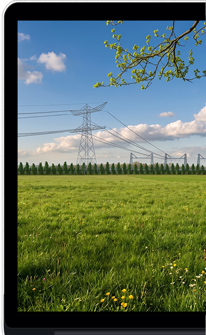
demo_line

Direct contact

Would you rather speak to someone in person? Feel free to contact our specialists!

Ronald de Vries Ernest Dik